Wilderness Trekking Oman, a 200km traverse of the Western Hajar Mountains
John Edwards
In England and Wales there are 13 national trails, the longest of which is the South West Coast Path. An economic analysis was made to determine the benefit of a European grant spent on the trail. This showed 5% of tourism spend in Cornwall, Devon, Dorset and Somerset was attributed to trail walkers, of which 76% was from overnight stays. The hospitality industry in remote villages servicing multi-day walkers has preserved rural life in many parts of the U.K. The Western Hajar mountains in the Sultanate of Oman are as spectacular as any in the world, but until this year there were no long distance trails, not even a contoured walking map. The established sign boards and track sketches catered for day trippers.
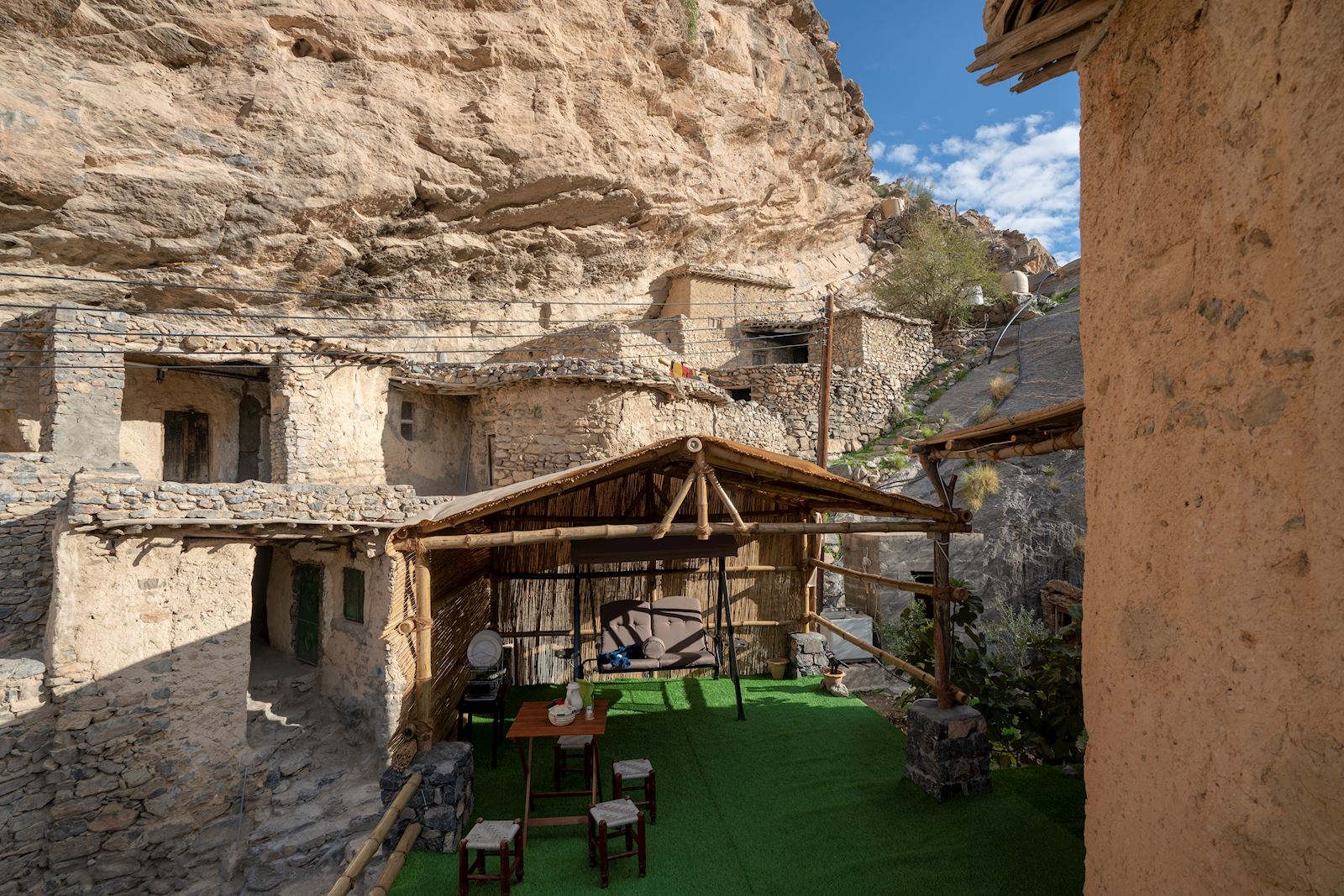
Exploring the Hajar mountains with my family and Omani companions was my passion during the sixteen years I spent living in the Sultanate. Using this experience, and two years devoted to the project, I have produced a book and map to create a long distance trail which is as interesting and spectacular as any of the world’s great walks. This will encourage long-distance walkers from Oman and overseas to the Western Hajar mountains who will help sustain the emerging hospitality industry. The villages of As Sawjrah and Misfat Al Abriyyin are using ancestral homes as hotel rooms, Wukan has a hotel resort using restored houses. With more long distance walkers similar enterprises could thrive in Hadash, Balad Sayt, Yisab and even the remote Naqa Ar Ruways.
The culture, history and geology in the Hajar Mountains made the creation of this sixteen day 200km walk a relatively easy task.
There is no concept of public rights of way in the mountains and deserts of Oman. The public can walk anywhere without a physical barrier indicating private property, such as walls surrounding a house or yard and irrigated garden perimeter fences. Most of the tracks on the traverse cross land that is used by semi-nomadic pastoralists, called shawawiya, to browse their goats and collect firewood and medicinal plants. The economic benefit of this territory, called isbah, belongs to the shawawiya but there are no restrictions on anybody crossing the land.
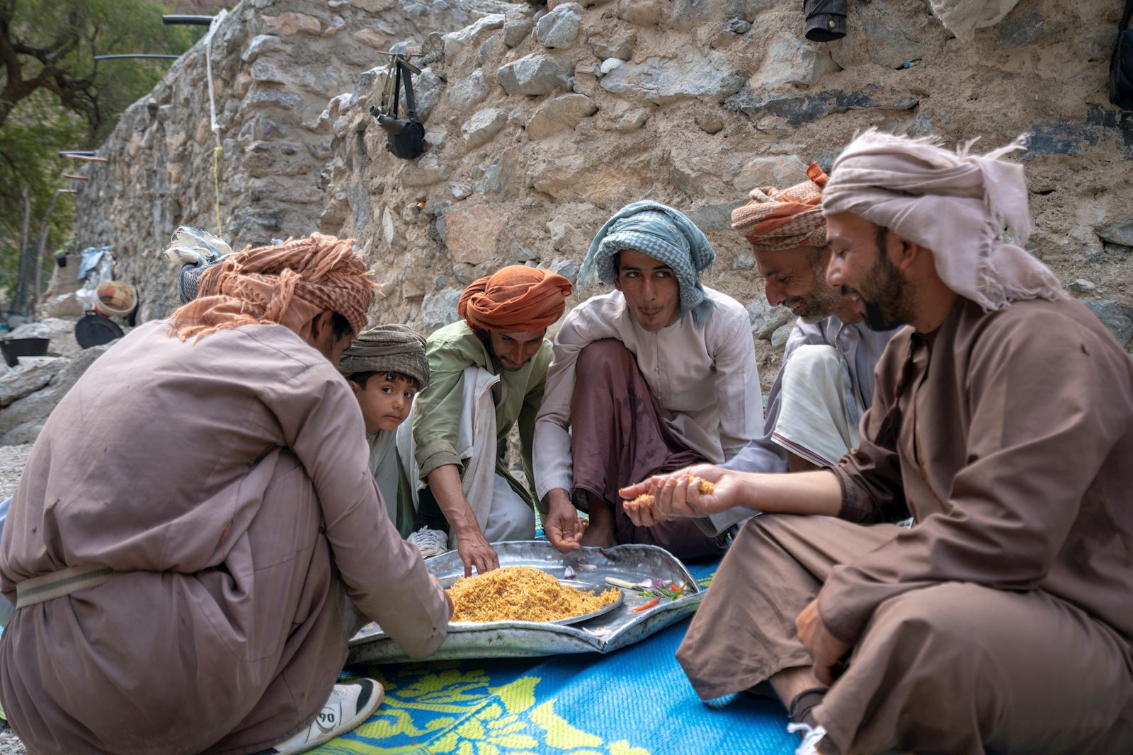
A considerable variety of historical tracks already existed in the mountains. The task was to link them into sections that finished with access to drinking water. Some tracks have not been used for generations while on others you will see donkeys carrying supplies. They include major and minor donkey caravan routes, unladen donkey routes to man tracks requiring scrambling by hand. One of the side tracks is a horse track, although it has not been used by horses for three hundred years. The major donkey trading routes are built with stone stairs and walls to provide sufficient room for a laden donkey. Unladen donkey tracks have narrow sections that are impassable for a laden donkey. The caravan routes still in use, easily identified from the continuous line of donkey droppings, carry provisions to the semi-nomadic pastoral settlements not serviced by roads.
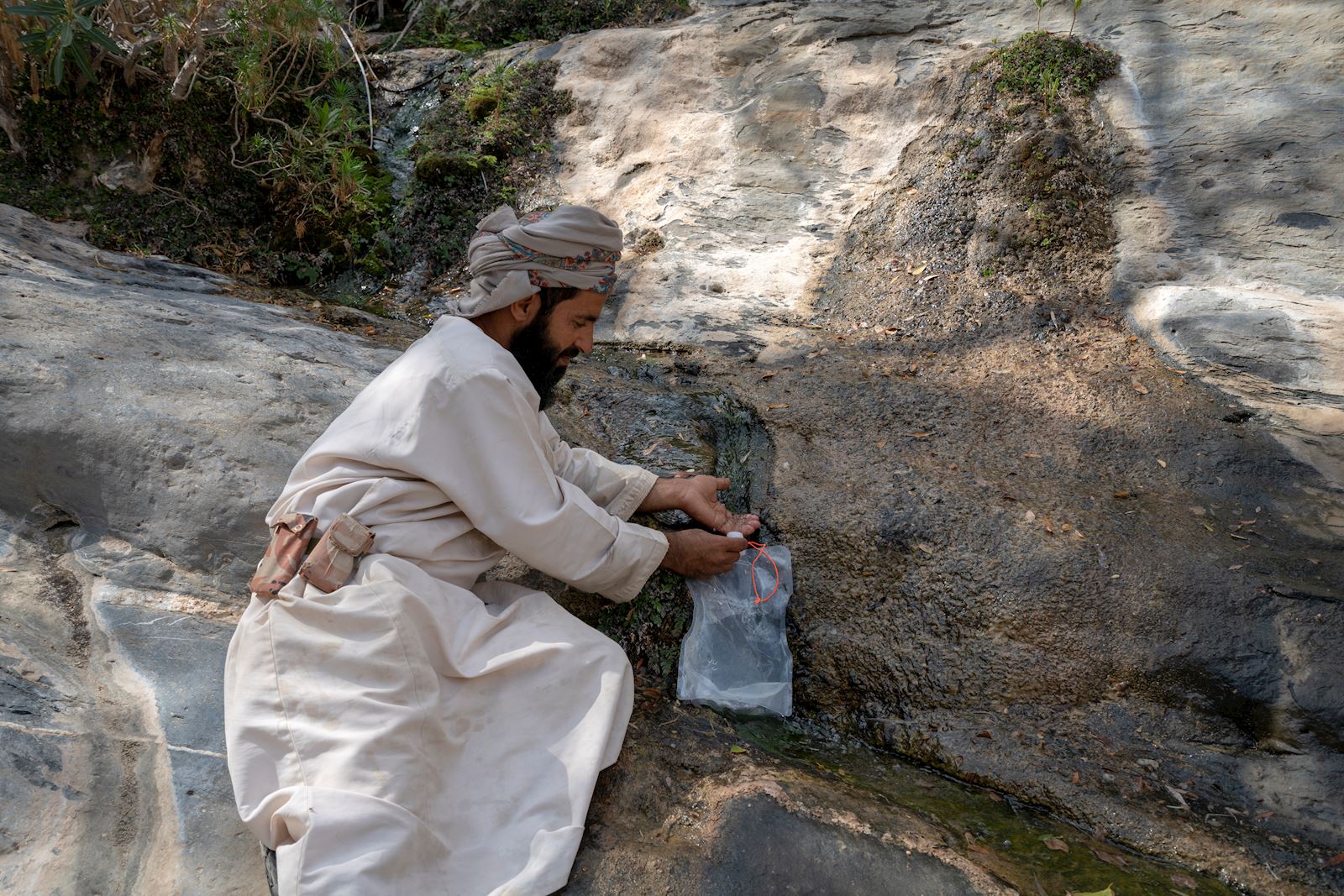
Most of the villages on the route are part way down the side of a north facing escarpment near springs which are located where the geological unconformity between the Mesozoic and the underlying Precambrian sequence intersects the surface. The angular unconformity creating the springs is at the elevation range 1500m to 1000m. The source for the springs is rainwater accumulating in the upper porous Mesozoic carbonate and flowing down to a seal caused by the older Precambrian rock which is impermeable. The Mesozoic carbonate is thousands of metres thick so acts as a huge reservoir sustaining the springs during periods of dry weather. The existence of this reliable natural water on the Western Hajar Mountains makes the long distance walk a feasible proposition. The shortest distance between the villages is across the high plateaux at elevations above 2000m. This means much of the traverse is a series of 500m to 1000m ascents and descents of the escarpment between villages. It consists of eight one-day walks, two two-day walks and one four-day walk. There is a road intersection with a village or hotel between each of these eleven sections. The track climbs to the highest accessible peak in the country at 2999m and finishes in remote dry valleys, called wadis, where impregnable cliffs have precluded road construction and electricity transmission. This has preserved the Arabian mountain lifestyle that has existed for centuries.